
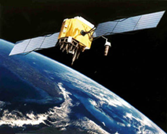
Ahhh yes, GPS - the global positioning system. With a GPS receiver you can get navigation data through the use of over two dozen satellites operating in six 12-hour orbital planes. Each satellite signal transmission includes timing information and orbital almanacs.
The satellite transmission must pass through a part of the Earth's atmosphere that affects radio propogation called the ionosphere. Unfortunately the frequency passes well through the ionosphere but does not pass well through solid objects. A clear line of sight with several satellites must be maintained for effective GPS communication.

Enhancing GPS accuracy is possible by using dual-frequency measurements to calculate ionospheric time delay errors. Ground based reference stations in the Wide Area Augmentation System (WAAS) further improve the accuracy and availability of GPS. Future upgrades to the satellites will include support for a high power spot beam to focus on a specific region of the Earth.


Leave a comment